Geomechanics.io

  • Free Tools
Sign UpLog In

    Geomechanics.io

    Geomechanics, Streamlined.

    © 2026 Geomechanics.io. All rights reserved.

    Geomechanics.io

    CMRR-ioGEODB-ioHYDROGEO-ioQCDB-ioFree Tools & CalculatorsBlogLatest Industry News

    Industries

    MiningConstructionTunnelling

    Company

    Terms of UsePrivacy PolicyLinkedIn
    Projects

    Mining’s next boom off the map: frontier project risks and design notes for engineers

    June 13, 2026|

    Reviewed by Tom Sullivan

    Mining’s next boom off the map: frontier project risks and design notes for engineers

    First reported on MINING.com

    30 Second Briefing

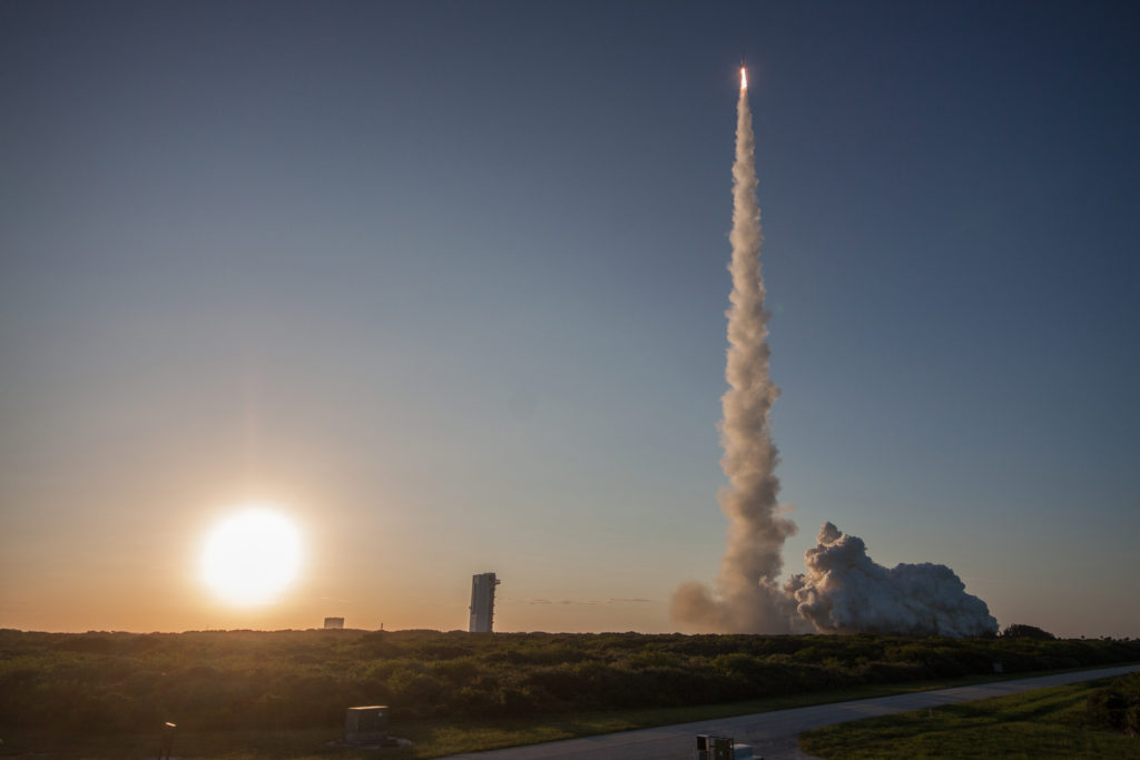
    Depletion of high-grade deposits, declining ore grades and sustained high commodity prices are pushing miners towards frontier resources in the Arctic, on abyssal plains and eventually in space. Capital is already moving into Arctic projects targeting onshore and offshore deposits in ice-affected conditions, while proposed deep-sea mining of polymetallic nodules on abyssal plains faces an intensifying regulatory battle at the International Seabed Authority. Asteroid mining remains a long-dated, largely conceptual option, but is shaping early research into in-situ resource utilisation, autonomous extraction systems and ultra-remote operations.

    Technical Brief

    • Arctic mine planning must account for sea-ice loadings on offshore structures and ice gouging of seabed pipelines.
    • Permafrost foundations in northern projects require thermosyphon or pile designs to manage thaw settlement and creep.
    • Seasonal ice roads constrain logistics windows, driving stockpile sizing, fuel storage and year-round power strategies.
    • Deep-sea nodule collection concepts rely on tracked seabed crawlers feeding vertical riser pipes to surface vessels.
    • Sediment plumes from abyssal mining are a core design constraint for discharge depth, diffuser layout and pump sizing.
    • Ultra-remote operations for asteroids and deep ocean are accelerating development of fully autonomous drilling and haulage systems.

    Our Take

    Arctic-themed mining items in our database increasingly intersect with AI and remote sensing, signalling that any future projects in ice-covered terrains are likely to depend heavily on autonomous exploration and monitoring rather than conventional field campaigns.

    For project developers, the Arctic focus in this piece sits at the extreme end of the ‘frontier’ spectrum in our Projects-tagged coverage, where permitting timelines and baseline environmental data gaps tend to be materially longer than for brownfield expansions in temperate regions.

    Geotechnical Software for Modern Teams

    Centralise site data, logs, and lab results with GEODB-io, CMRR-io, and HYDROGEO-io.

    No credit card required.

    • Save and export unlimited calculations
    • Advanced data visualisation
    • Generate professional PDF reports
    • Cloud storage for all your projects

    Prepared by collating external sources, AI-assisted tools, and Geomechanics.io’s proprietary mining database, then reviewed for technical accuracy & edited by our geotechnical team.

    Related Articles

    Mining
    about 2 hours ago

    Aitik environmental permit renewal: tailings and water design notes for engineers

    Boliden’s Aitik open-pit copper mine has secured a renewed environmental permit from Sweden’s Land and Environment Court, authorising continued production of up to 45 Mt of ore per year. The decision also approves specified methods for staged tailings dam raising and revised water management practices, giving regulatory backing to Aitik’s long-term waste storage and process water handling strategy. For geotechnical and process engineers, the ruling provides clarity on allowable dam construction techniques and water balance controls for one of Europe’s largest copper operations.

    Ucore–Sumitomo rare earth deal: supply chain and offtake lens for project teams
    Mining
    about 2 hours ago

    Ucore–Sumitomo rare earth deal: supply chain and offtake lens for project teams

    Ucore Rare Metals has signed a framework agreement with Sumitomo Corp. to secure rare earth feedstock and offtake for Ucore’s Louisiana strategic metals complex (SMC) at England Airpark, Alexandria, which broke ground in May 2025 and will produce high-purity rare earth oxides from multiple global concentrate sources. The deal pairs Ucore’s RapidSX separation technology with Sumitomo’s sourcing, logistics and Japanese market access, with Sumitomo acting as distribution partner for selected middle and heavy rare earths for high-performance magnet and advanced materials users. Ucore also plans to integrate its 100%-controlled Bokan-Dotson Ridge heavy rare earth project in Alaska into this supply chain over the longer term.

    AbraSilver’s La Coipita copper-gold: drill results and JV lens for mine planners
    Mining
    about 2 hours ago

    AbraSilver’s La Coipita copper-gold: drill results and JV lens for mine planners

    AbraSilver Resource has reported its best intercept to date at the Teck-funded La Coipita copper-gold porphyry in San Juan, with hole DDH-LC26-010 cutting 747.5 m at 0.69% Cu, 0.06 g/t Au and 142 ppm Mo from 396 m, including 108 m at 1.06% Cu. A second mineralised centre at Yaretas Sur, 1.9 km south, returned 42 m at 1.03% Cu, 0.63 g/t Au and 41 g/t Ag from 264 m, supported by a new magnetotelluric survey suggesting southern extensions. Teck has now drilled 11,270 m in 19 holes and spent about US$23 million, exceeding the US$20 million earn-in threshold toward an 80–20 JV.

    Related Industries & Products

    Mining

    Geotechnical software solutions for mining operations including CMRR analysis, hydrogeological testing, and data management.

    Construction

    Quality control software for construction companies with material testing, batch tracking, and compliance management.

    CMRR-io

    Streamline coal mine roof stability assessments with our cloud-based CMRR software featuring automated calculations, multi-scenario analysis, and collaborative workflows.

    HYDROGEO-io

    Comprehensive hydrogeological testing platform for managing, analysing, and reporting on packer tests, lugeon values, and hydraulic conductivity assessments.

    GEODB-io

    Centralised geotechnical data management solution for storing, accessing, and analysing all your site investigation and material testing data.

    AllGeotechnicalMiningInfrastructureMaterialsHazardsEnvironmentalSoftwarePolicy